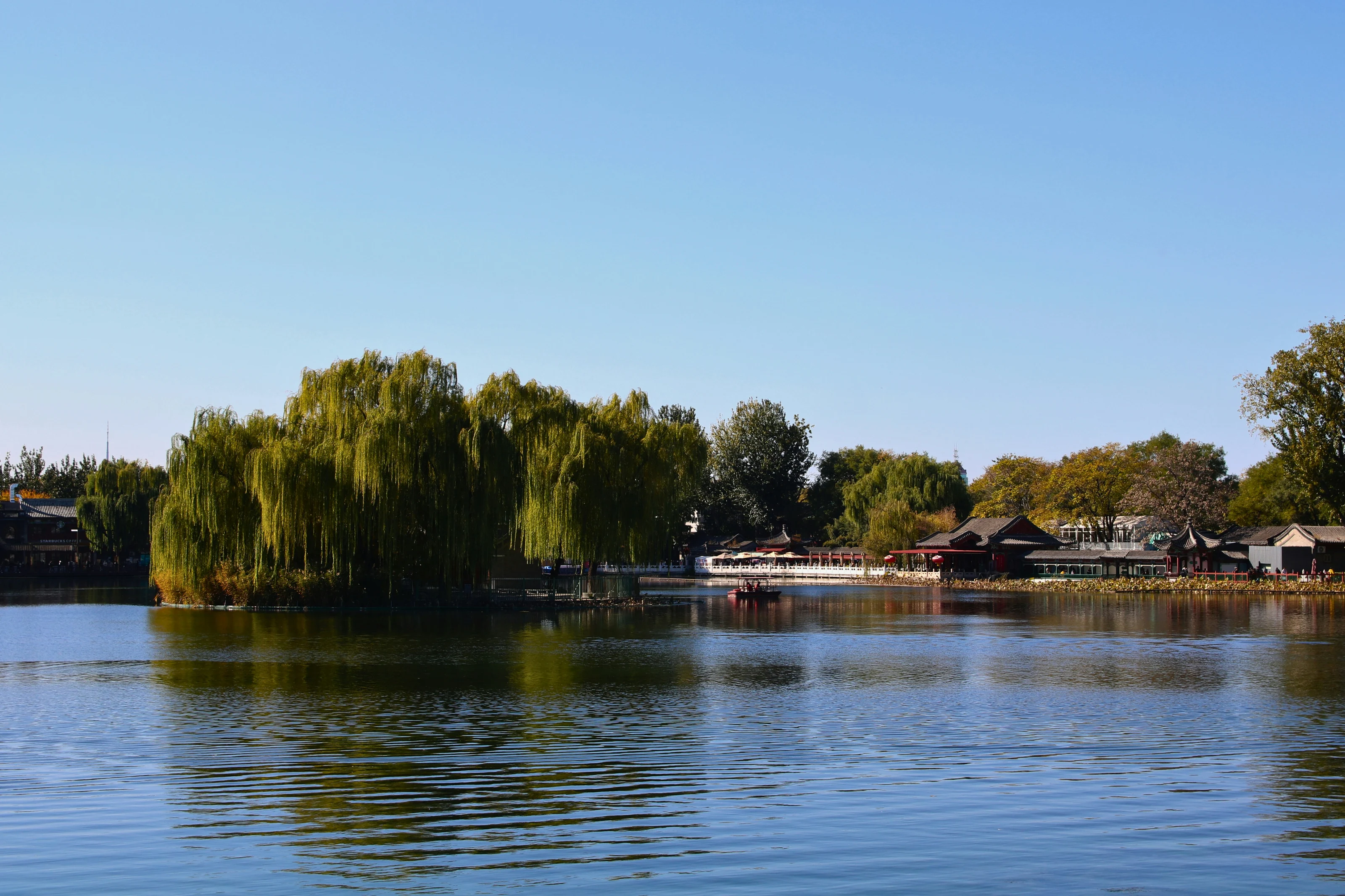
A Beihai Park walk linking the White Dagoba and Nine-Dragon Wall combines an island hill with the northern lakeshore. Start at the South Gate for the island and temple approach, then decide how much lakeside walking to add before the wall. If the glazed dragons matter more than the climb, begin with the northern bank instead. The key choice is whether the hill belongs in your visit at all.
South Gate puts the White Dagoba climb first
The South Gate leads into the island route described by Beijing’s municipal visitor guide: Yong’an Bridge, Yong’an Temple and the White Dagoba. Jade Islet, also called Qionghua Islet, is the hill-and-island part of the park. The temple approach makes the climb part of the architectural visit, rather than a separate viewpoint detour.
The White Dagoba is a Tibetan-style Buddhist monument, built in 1651. Its position above the temple helps explain the view from the bridge: the hill, religious buildings and white monument form a single composition. Pause on the approach to see that arrangement before moving into the temple grounds.
For the descent, the municipal route goes downhill toward the east, past the Jade Islet in Spring Shade stele and the Long Corridor, before eventually returning to Yong’an Bridge. Follow the current signs for that island circuit. A descent by a different side can change where you rejoin the lakeshore, so keep the bridge as a named return point.
If stairs would decide the outing, ask staff about the available approaches before starting uphill. I haven’t established a step count or a continuous step-free route here. A visit centered on the lake and northern bank can leave the summit out, but its accessibility still needs checking for your own requirements.
For the wider city plan, the Beijing destination page is the parent overview for this park visit.
Read Beihai Lake before extending the island walk
Beyond the island, the lake becomes the organizing feature. Beihai has distinct island, eastern-bank and northern-bank areas; finishing the White Dagoba visit doesn’t mean you’ve reached the Nine-Dragon Wall. Use the entrance map to identify the northern bank and a connected lakeside path before extending your walk.
The photograph below shows small boats spread across the water, with trees and buildings around the shore. That broad stretch of lake is useful context for the move between areas: give the shore walk its own place in the plan instead of treating the wall as the next building beside the dagoba.
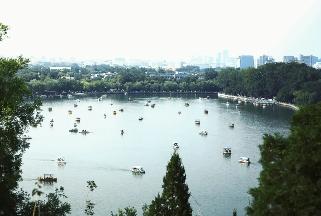
Photo credits
For an entirely walking visit, return from the island by the signed land route and use the current park map to continue around the shore toward the northern bank. The municipal guide’s longer itinerary crosses by ferry from Yilan Hall. Its four-hour estimate includes that boat journey, so it isn’t a measured time for walking this whole route.
I’d leave the ferry out of the essential plan until its service is confirmed for the day. If the walk shown on the map feels too long after the hill, finish the island circuit and save the northern bank for a separate visit. There isn’t a verified walking distance or finish time in this guide.
At the Nine-Dragon Wall, look at both glazed faces
The northern-bank visit changes the focus from a hilltop monument to a wall viewed at close range. Beijing’s municipal guide dates the Nine-Dragon Wall to 1756 and describes glazed bricks on both sides. When access permits, look at each face rather than leaving after the first view.
The useful detail is the surface itself: colored glaze turns a masonry wall into a setting for the dragon designs. Compare the modeling and color across the faces, then step back to take in the wall as a whole. The lake photograph illustrates the park setting; the wall and dagoba are outside its frame.
If the wall is your main reason for coming, start with the northern-bank area and decide about the island afterward. The municipal guide lists Beihai Bei on subway Line 6 as a park approach. Check the station-to-gate route in your map app, using the actual entrance name rather than a pin in the middle of the lake.
Leave Beihai through the gate that fits the next stop
After the northern bank, choose an operating exit from the park map before starting another long stretch of shore. A return to the South Gate suits an island-only circuit; a visit ending in the northern area calls for a fresh check of the next journey. An entrance chosen for the dagoba needn’t dictate the end of the day.
For an onward hilltop view, the Jingshan sunset guide explains the approach from Beihai’s east exit to Jingshan’s West Gate. That connection is a separate choice from ending near the northern bank, and Jingshan adds another climb. Check the remaining daylight and admission window before adding it.
Before traveling, check the official Beihai Park website for opening notices and confirm the admission arrangements for your document. Park access and the opening of individual scenic courtyards have different schedules. Settle any ticket, passport or reservation questions before making a particular building the reason for the journey.
Photo credits
Photo: Bruna Santos / Unsplash / Unsplash License. Cropped vertically, resized to 1400 x 737 and converted to WebP.
Explore the Beijing city guide →